Skip to content

Development Services

Outsource your GIS development with confidence

Our Development Services team supports the global Esri ecosystem to build impactful, modern solutions on ArcGIS by providing access to highly skilled spatial development professionals. Whether you need additional capacity, specialized development skills, or a partner for complete solution delivery, we offer a flexible and cost-effective way to scale. 


What we do

We build extensions, applications, and integrations across all ArcGIS implementation patterns, including the full suite of ArcGIS Developer APIs and SDKs. We work with contemporary programming languages and apply secure coding standards in line with the Esri Well-Architected Framework and Calcite Design System. In addition to core development, we also provide business analysis, UI/UX design, quality assurance, as well as ongoing support and maintenance. 
arcgis-48-CARTINUUM

Custom widgets and themes

We design and develop intuitive, easy-to-use widgets and themes for ArcGIS Experience Builder that deliver exactly what users need.

Step back in time, visualize change, and reveal how places evolve.

ArcGIS Pro add-ins

We design and build add-ins that extend the capabilities of ArcGIS Pro using the ArcGIS Pro SDK to enable business workflows.  

app modern

Web app development

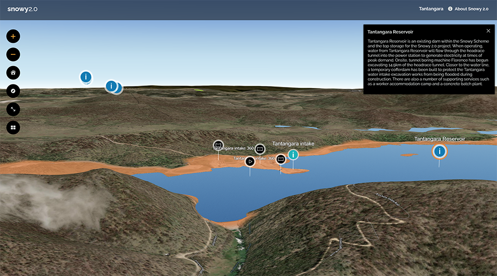
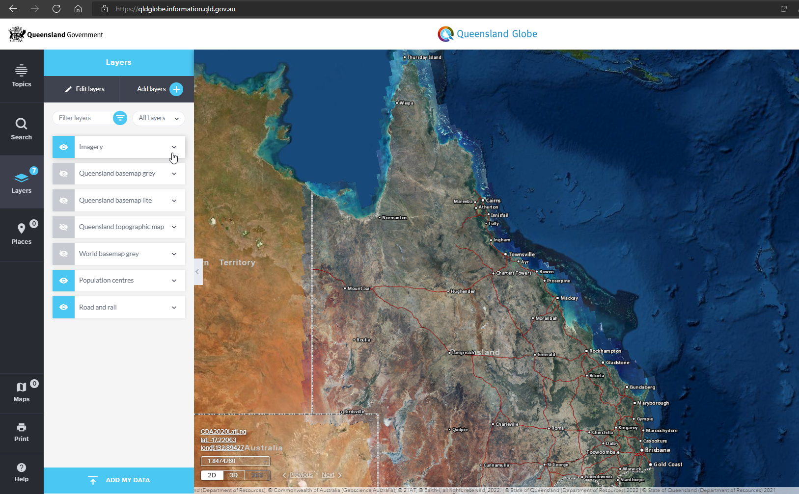
We build modern and compelling web mapping applications using the ArcGIS Maps SDK for JavaScript, incorporating contemporary web frameworks, scalable architectures, and secure development practices. 

Hosted location-based applications

Native app development

We develop modern, user-centered mobile apps using the ArcGIS Maps SDKs for Native Appsincluding the Flutter Maps SDKApps support iOS and Android, provide intuitive offline workflows and integrate seamlessly with ArcGIS and other business systems. 


How we work

Our team delivers ArcGIS solutions across multiple countries and industry sectors, including government, utilities, resources, infrastructure, environment, and commercial markets. 

Esri-ImageExample-2

Global experience

Our team has delivered ArcGIS solutions across countries and industry sectors, with 
extensive experience supporting Esri distributors, partners, and a wide range of organisations to achieve quality outcomes. 

Flexible engagement

We align with your delivery approach and commercial objectives; whether you have defined scope or need to extend your team's capacity.  

Our projects 

From building individual applications to developing end-to-end platforms, our team delivers impactful, world-leading solutions. Read more about these below. 

byda-vid-thumb
Watch Video
Case study
Critical infrastructure

Before You Dig Australia (BYDA)

Responsible for helping safeguard AUD 388 billion in national infrastructure, our world‑leading digital damage prevention solution, developed with Esri Australia, supports Before You Dig Australia (BYDA) by processing more than 15 million referrals each year—delivering a safer, faster service for 50,000 monthly active users. Built on ArcGIS SDK for JavaScript, the service is enhanced with native mobile apps using the ArcGIS SDK for Flutter. 

million

referrals per year

enquiries

per day

Case study
Construction

Snowy Hydro 

Snowy Hydro launched a virtual tour to share progress and key construction milestones of Snowy 2.0, its pumped-hydro megaproject and Australia’s largest committed renewable energy project, with the public.

Cartinuum supported Esri Australia in creating the Snowy 2.0 Virtual Tour using ArcGIS, providing access to precise spatial data and high‑resolution imagery on both desktop and mobile. The interactive tour offers a bird’s‑eye view of construction sites, complete with 3D animations, 360‑degree panoramic scenes, and exclusive video content.

kilometers

of underground tunnels

meters

below ground

snowy20tour_small
qld-globe
Case study
GIS Services

Queensland Globe 2.0

Our team of UI/UX experts and developers delivered an open data-focused custom web application for Esri Australia's client, the Queensland Department of Natural Resources and Mines (DNRM). 

Users can intuitively browse the app as they explore more than 600 layers of government data on any device in 2D and 3D.

layers

high‑resolution historical aerial photos

Ready to get started?

Let us help you find the solution that works best for you.

Let's talk